
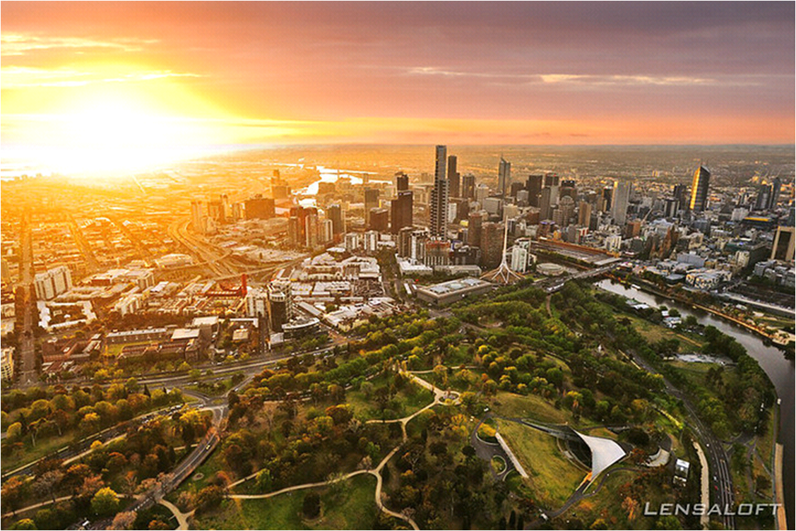
Here you going to check out some photographs which is taken in an elevated position,i,e Aerial photography,this photographs are taken from the above level of ground.aerial photographs acts as a main source of information about what is the earth surface.it as first introduced and practiced by french French photographer and Balloonist gaspard-Felix tournachon also known Nader. Aerial photography is also used in cartography and particularly in photo gram metric surveys, land-use planning, archaeology, movie production, environmental studies, surveillance, commercial advertising, conveyancing, and artistic projects.it refers to the image by which the camera is not supported by the level of ground and it may hand held or mounted and then photographs are taken.the basic platform for this aerial photography includes fixed wings,air craft,helicopters,ballons blimps and rockets,kites,parachutes.Earth maps,maps google, street maps,some of the examples of aerial phootography.oblique photography,vertical photography,combinations ,ortho photos,aerial video are the types of aerial photography.


")


